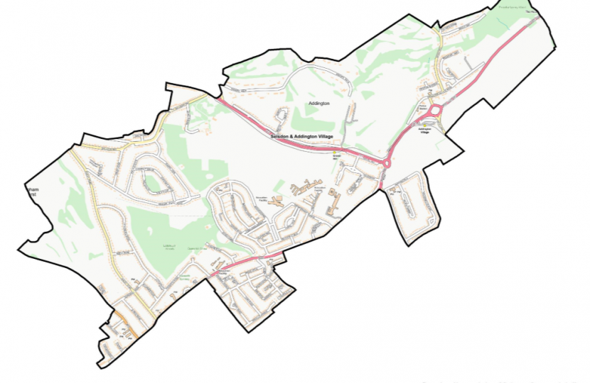
Every so often the boundaries of Parliamentary constituencies are reviewed to ensure there are roughly the same number of voters in each. This is the responsibility of the (independent) Boundary Commissions, of which there are four, one each for England, Northern Ireland, Scotland and Wales. There are similar, but separate bodies for determining local authority boundaries. The Boundary Commission for England has just published revised boundaries which, if they are implemented will affect Croydon's representation in Parliament.
Our ward boundaries for Croydon were changed in 2018, when the two Selsdon wards of Selsdon and Addington Village, and Selsdon Vale and Forestdale were created. Both these wards overlap with two Parliamentary constituencies - Croydon Central and Croydon South. Under the new proposal both the Selsdon wards become part of the new Croydon East constituency, along with the New Addington, Shirley and Addiscombe wards, and part of the Woodside ward. You can view the map here. For a map of the other London constituencies click here.


